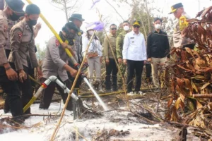
The Carbon Crisis: How Indonesia’s Massive Wildfires Are Sabotaging Global Climate Targets
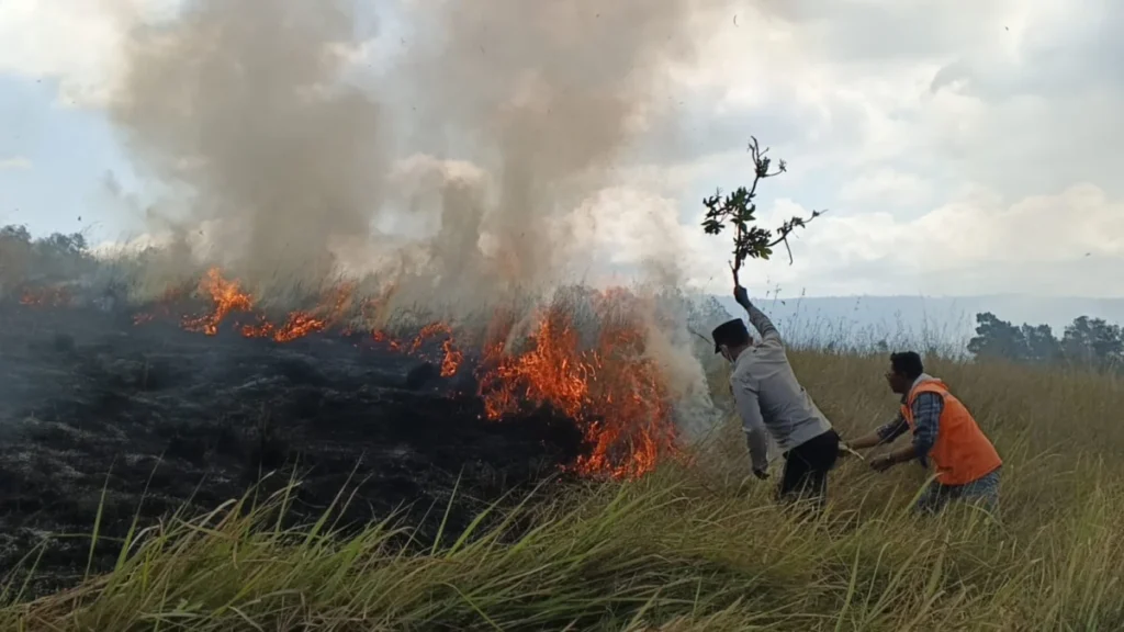
As the world grapples with the accelerating pace of climate change, a devastating wave of forest and land fires (karhutla) has swept across Indonesia, effectively turning the country’s vast carbon sinks into massive carbon sources. New data indicates a catastrophic surge in burned areas throughout 2026, casting a long, dark shadow over the government’s ambitious "FOLU Net Sink 2030" roadmap.
The scale of the destruction is not merely an environmental tragedy; it is a profound policy failure that threatens to derail national and international commitments to stabilize the global climate.
The Rapid Surge: A Chronology of Devastation
The fire season of 2026 reached a tipping point in August. According to modeling from the Yayasan Madani Berkelanjutan, the fire footprint expanded at an alarming rate. In July, burned areas were estimated at approximately 100,700 hectares. By the end of August, that figure had skyrocketed to a staggering 1.32 million hectares.
This surge was not unexpected. Since the beginning of the year, the Meteorology, Climatology, and Geophysics Agency (BMKG) had issued repeated warnings regarding an exceptionally dry, extreme drought season—the most severe in recent years. Despite these early warnings, the response mechanisms proved insufficient to stem the tide of fire.
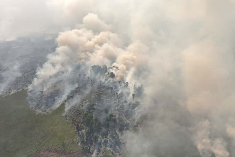
From January to August 2026, the total Indicative Burned Area (AIT) reached 1.36 million hectares. Of this, 97.26% comprised new fire locations, while only 2.74% involved recurrent burn sites. This indicates that the fires are not just a repeat of seasonal issues in known hotspots, but are spreading into previously untouched or less vulnerable regions, amplifying the ecological damage.
The Emissions Toll: A Global Atmospheric Impact
The environmental consequences of these fires are measured not just in hectares, but in millions of tons of carbon dioxide released into the atmosphere. The Indonesian Forum for the Environment (WALHI) estimates that from January to early September 2026, the fires released approximately 31 million tons of CO2. To put this into perspective, this single figure represents the entire annual greenhouse gas emissions of Cuba—a nation of 11.3 million people, covering all its energy, transportation, industry, and agriculture sectors.
Data from the Copernicus Fire Emission Watch offers an even more harrowing outlook. For the first week of September 2026 alone, Indonesia was identified as the world’s largest emitter of CO2 due to wildfires. In just seven days, the country’s fires released 19.7 million metric tons of CO2, accounting for nearly one-third of global fire-related emissions.
Copernicus’s broader satellite data suggests the total emissions could reach 239 million tons of CO2—a volume nearly equivalent to the annual fossil fuel emissions of Kazakhstan. The highest concentrations of smoke and carbon release were detected across the forests of Kalimantan and eastern Sumatra.

The "FOLU Net Sink 2030" Contradiction
The central pillar of Indonesia’s climate strategy is the "FOLU Net Sink 2030," which aims for the forestry and land-use sector to absorb more greenhouse gases than it emits by 2030. However, the 2026 fires have created a fundamental, structural contradiction in this policy.
Giorgio Budi Indrarto of the Yayasan Madani Berkelanjutan points out that 511,300 hectares—or roughly 38.7% of the total burned area—occurred within the operational boundaries designated for the FOLU Net Sink program. When forests, peatlands, and conservation areas are allowed to burn, the carbon that was supposed to be "stored" is instead pumped directly back into the atmosphere, rendering the government’s sequestration goals increasingly mathematical impossibilities.
Patria Rizky Ananda, a climate campaigner for WALHI, notes that the current situation exposes a lack of political will. "The government claims to be moving toward a net-sink future while allowing the very ecosystems meant to serve as our carbon banks to become sources of massive emissions," Ananda stated.
The Anatomy of the Burn: Where is the Forest Dying?
The geography of the 2026 fires reveals systemic failures in land management. Madani’s analysis shows that nearly 60% of the newly burned area (792,400 hectares) lies within designated forest zones.
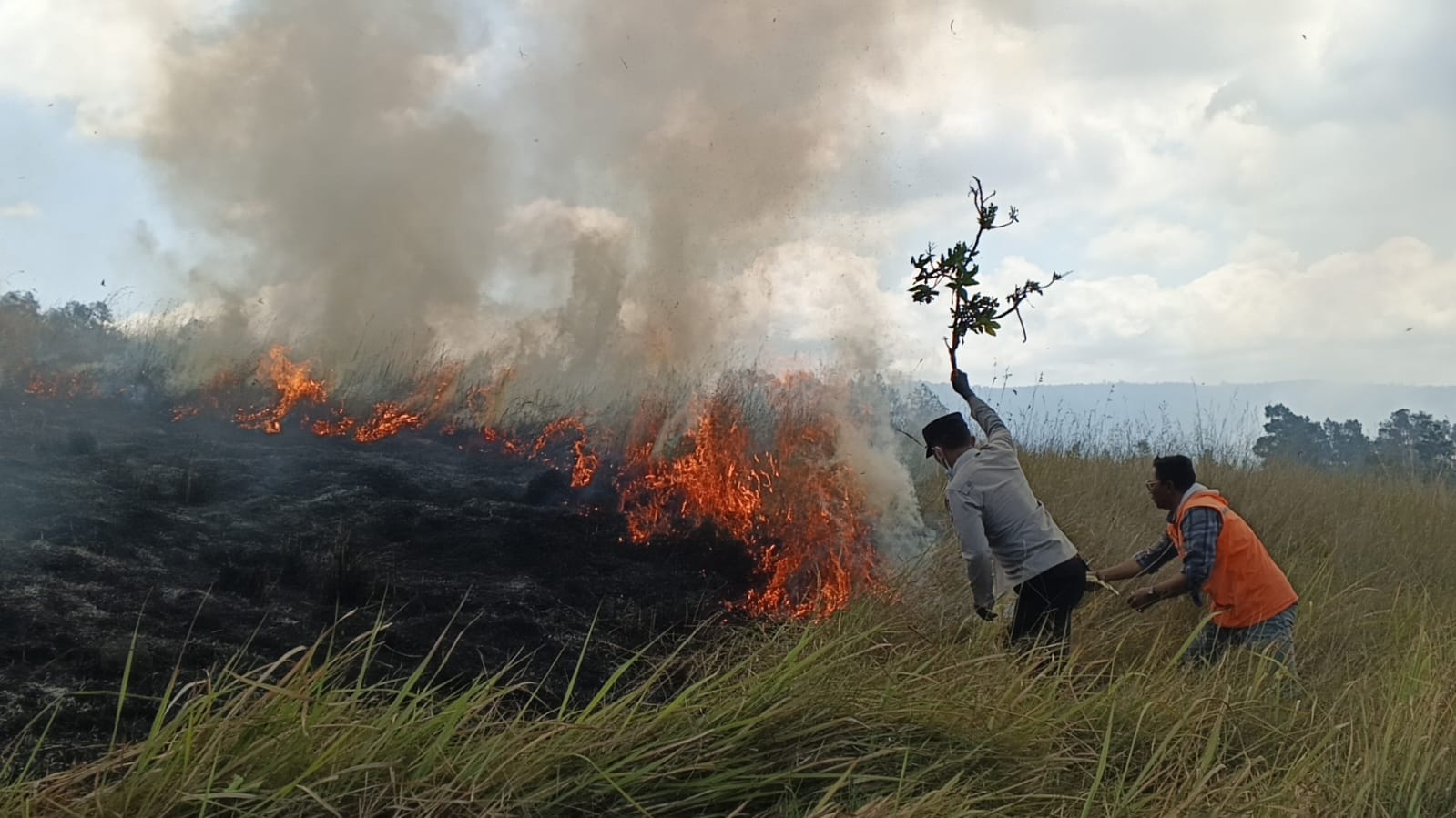
The breakdown of these zones is particularly concerning:
- Production Forests: 600,000 hectares burned.
- Protection Forests: 93,600 hectares, a massive jump from 6,300 hectares in July.
- Conservation Forests: 79,300 hectares, up from 13,600 hectares in July.
Even areas intended for "moratoriums" (PIPPIB) did not escape the blaze. Approximately 342,100 hectares of protected moratorium areas were scorched. Furthermore, 73,200 hectares of Key Biodiversity Areas (KBA)—regions critical for the survival of endangered species—have been destroyed.
The data also reveals that 51.14% of the burned area overlaps with existing business concessions, including palm oil plantations, mining, and oil and gas operations. This highlights a recurring issue: land under commercial management is frequently the site of intense, recurring fires, suggesting that the drive for resource extraction is often prioritized over fire prevention and ecological health.
The Peatland Crisis and Governance Failure
Perhaps the most damaging aspect of the 2026 fire season is the destruction of peatlands. Peat is a critical carbon storehouse; when it burns, the carbon release is exponentially higher than that of surface vegetation. Madani recorded 447,600 hectares of burned peatland, with a massive spike in August alone.
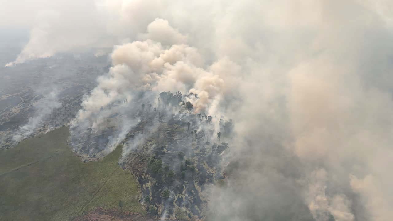
Experts point to the dissolution of the Peatland and Mangrove Restoration Agency (BRGM) as a key factor in this failure. "The absence of a specialized agency focused solely on peat ecosystems has led to a decline in the maintenance of canal blocking and rewetting efforts," notes Indrarto. Without constant, proactive management, these peatlands become tinderboxes waiting for the slightest spark.
Official Responses and the Call for Accountability
Environmental legal experts, including Lasma Natalia H. Panjaitan of the Indonesian Center for Environmental Law (ICEL), argue that the problem is not merely an operational one but a failure of legal enforcement.
The concept of strict liability—a legal principle where a company is held responsible for environmental damage occurring on their concession regardless of whether they "intended" to start the fire—has been severely weakened by recent legislative changes, such as the Job Creation Law (UU Cipta Kerja). This has made it significantly more difficult for the state to hold corporations accountable.
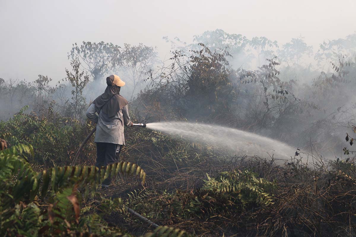
"The government must move beyond firefighting and focus on the hulu (upstream) issues," says Panjaitan. "This means ensuring that licenses are not granted in high-risk zones, strictly enforcing spatial planning, and applying strict liability to ensure that corporate entities are held responsible for the environmental impacts of their operations."
Conclusion: A Path Forward or a Continued Descent?
The 2026 wildfire crisis is being described by activists as a "state and corporate crime." For the government to regain credibility in its climate commitments, experts suggest a radical shift in strategy:
- Rigorous License Evaluation: Revoking permits for companies that oversee areas of repeated, unchecked fires.
- Restoring Ecological Governance: Re-establishing robust institutions dedicated specifically to the protection and restoration of peatlands.
- Prosecuting Intellectual Actors: Moving beyond the arrest of low-level laborers to identify and prosecute the corporate leaders and owners who profit from the slash-and-burn clearing methods.
- Integrating Climate with Spatial Planning: Ensuring that no land-use permit is granted if it contradicts the goal of maintaining a carbon-neutral footprint.
As Indonesia looks toward 2030, the fires of 2026 serve as a stark warning. The dream of a "Net Sink" is not just about planting new trees; it is fundamentally about protecting the ones we already have. Without a total overhaul of the current regulatory environment and a decisive break from business-as-usual land management, the forests of Indonesia will continue to burn, and with them, the country’s hope of meeting its climate obligations.